File:Plot world jjs.png
Jump to navigation
Jump to search

Size of this preview: 800 × 400 pixels. Other resolutions: 320 × 160 pixels | 1,600 × 800 pixels.
Original file (1,600 × 800 pixels, file size: 1.56 MB, MIME type: image/png)
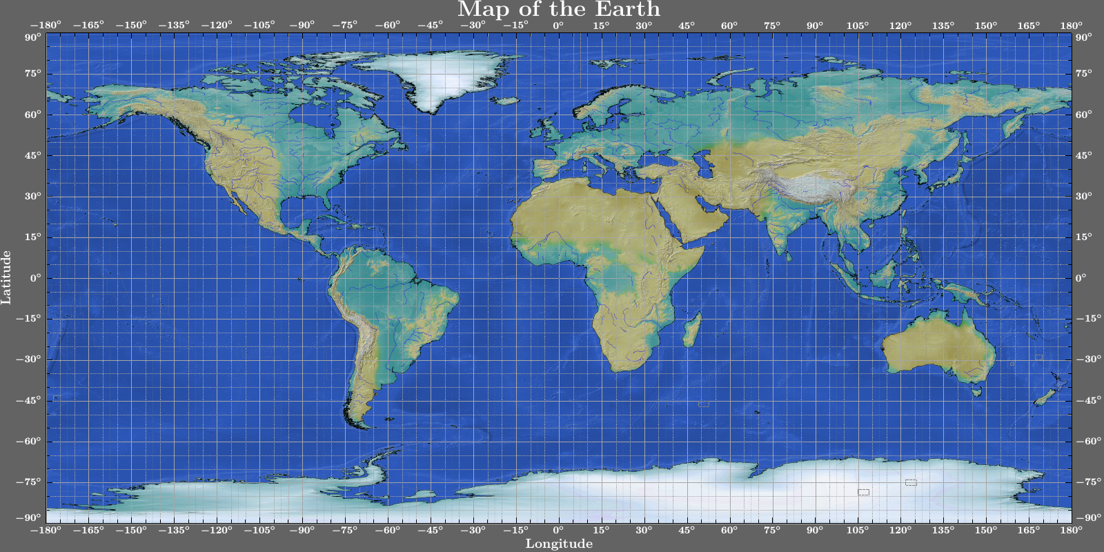
World map with rivers, time zones and color mapping. Data from natural earth.
File history
Click on a date/time to view the file as it appeared at that time.
| Date/Time | Thumbnail | Dimensions | User | Comment | |
|---|---|---|---|---|---|
| current | 02:02, 28 August 2020 | | 1,600 × 800 (1.56 MB) | Stierhof (talk | contribs) | World map with rivers, time zones and color mapping. Data from natural earth. |
You cannot overwrite this file.
File usage
The following 2 pages use this file: